The route
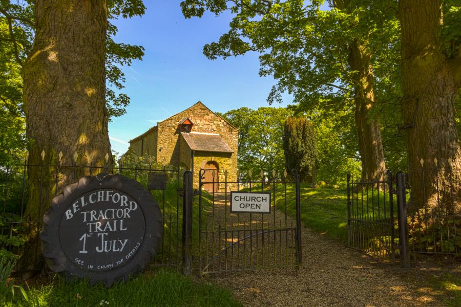
Start and finish at Belchford, LN9 6LR.
This walk can be found within OS Explorer Map 273. Grid reference: TF 294 754. GPS coordinates N53° 15 35.38 W000° 03 41.690.
1 : Leave Belchford church with the village hall to your left. Walk along the main road around a slight bend passing the Blue Bell pub to your right, up to a sign post for the ‘Viking Way’ on your right hand side. (0.2 miles)
2 : Follow the well defined path with the field boundary initially to your right, across the River Waring for the first time, using a small stream bridge, and up a slope to a gate with a hill to your right and woodland to the left. (1.08 miles)
3 : Keep straight on through another couple of pedestrian gates following the now descending path until it joins the metalled track leading towards Scamblesby (1.7 miles)
4 : Carry along the lane until it meets a lane on the left. (2.4 miles)
5 : Turn left and follow that lane to the top of the rise where the short track to Scamblesby church is on the left. (2.5 miles)
6 : Retrace your steps to the signpost mentioned above, now to the right. (2.8 miles)
7 : Follow the path right, initially up a small incline to the hedge where the path veers slightly left. Continue forward, through a small belt of trees to a path crossing. (3.3 miles)
8 : Turn left following the path up the hill to the left hand side of more trees on the skyline. Through a large gate, forward to another gate just short of former farm buildings on the hill crest, now converted to holiday cottages. (4.1 miles)
9 : Keeping straight on, the path once more descends with ponds and light woodland to the left alongside a large hedge to the right until it becomes a path after a 100m or so. Still carrying straight on, join the main road once more at East Farm. (4.9 miles)
10 : Turn right keeping to the right so as to face the traffic, taking great care due to the speed of oncoming traffic, walk for approximately 0.4 miles until reaching another bridleway sign on the opposite side of the road. Ignore the first track to Manor Farm. (5.3 miles)
11 : Follow the bridleway until it descends to a bridge next to which is a large ash tree. Cross the bridge over the River Waring for the second time. (5.9 miles)
12 : Again follow the path uphill passing farm buildings to your right until reaching a well defined track which in turn meets a local road, Hemingby Lane. (6.8 miles)
13 : Turn left up the road towards Fulletby village. Passing a garage on the left , take the first left junction (Mill Lane) Follow that for a few metres taking the first right on to a small lane with Fulletby church on your left. (7.25 miles)
14 : Leaving the church, turn left descending slightly to the corner where again the route goes left. Follow the metalled lane to a small wooden gate on the right. Go through the gate which first crosses a hummocky field before reaching a kissing gate.
15 : Pass through the gate once more climbing gently with the boundary on the right before the path descends to some large bushes / small trees at which point turn sharp right and then immediately left until reaching the small River Waring for the third time at which point follow the path to the right. (8.5 miles)
16 : After a few metres, turn left over the narrow bridge ignoring the path ahead. Having crossed the bridge, walk up to a gate which leads on to a track. Turn right and follow the track 150m or so back in to Belchford where the church lies to your right. (8.74 miles)