
Wales coast path walks
Llŷn Peninsula and Clynnog Fawr


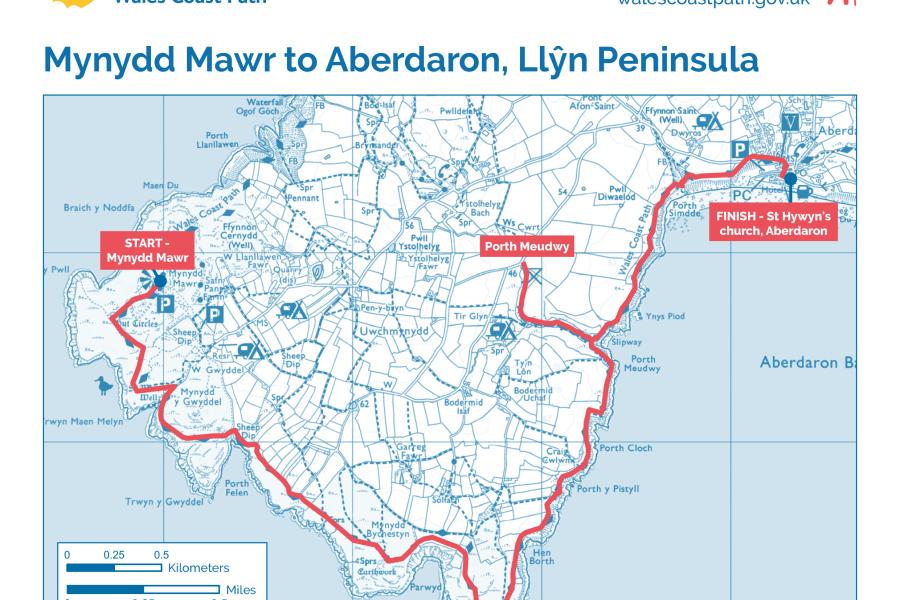
Mynydd Mawr to Aberdaron


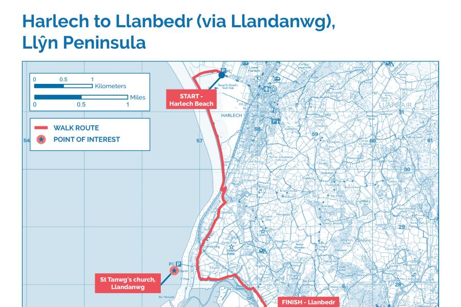
Harlech to Llanbedr via Llandanwg


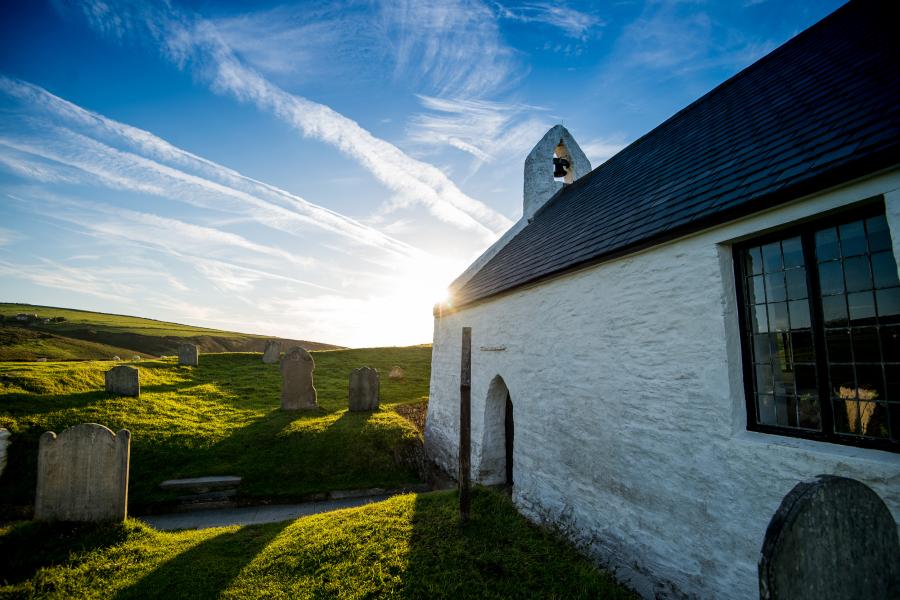
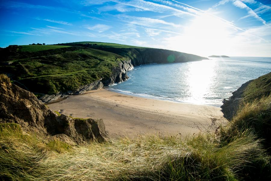
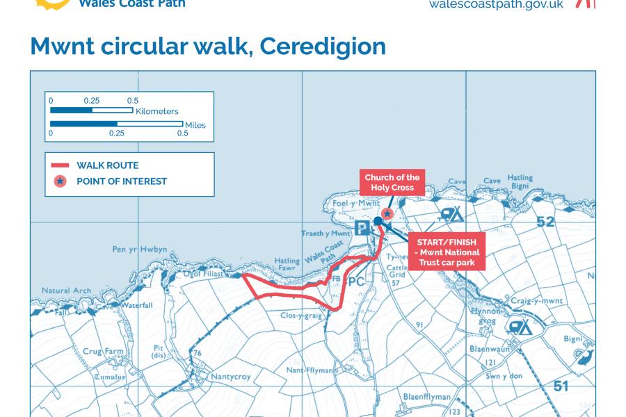
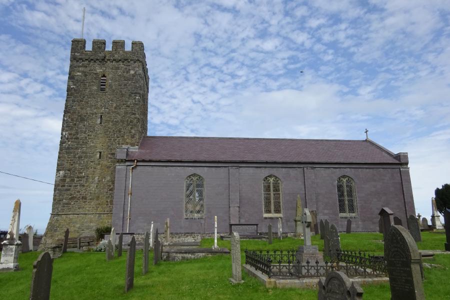
Mwnt circular walk
Llangrannog to Penbryn


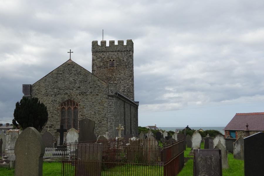
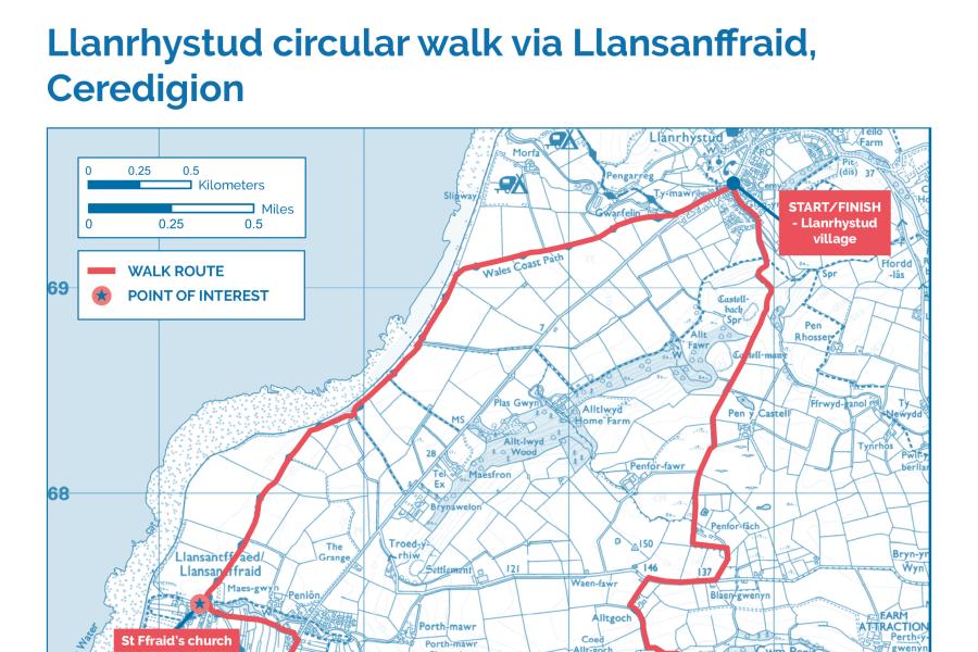
Llanrhystud circular via Llansantffraed

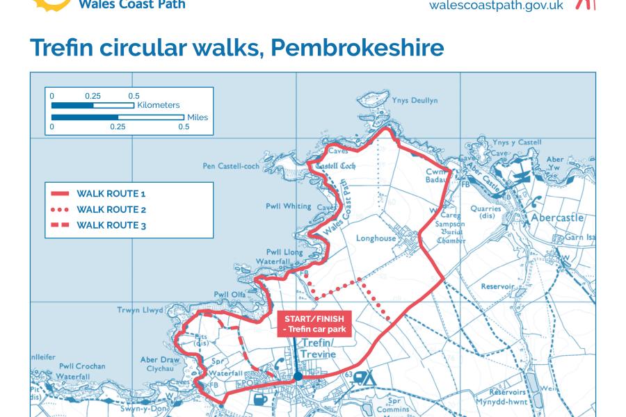
Trefin circular walk


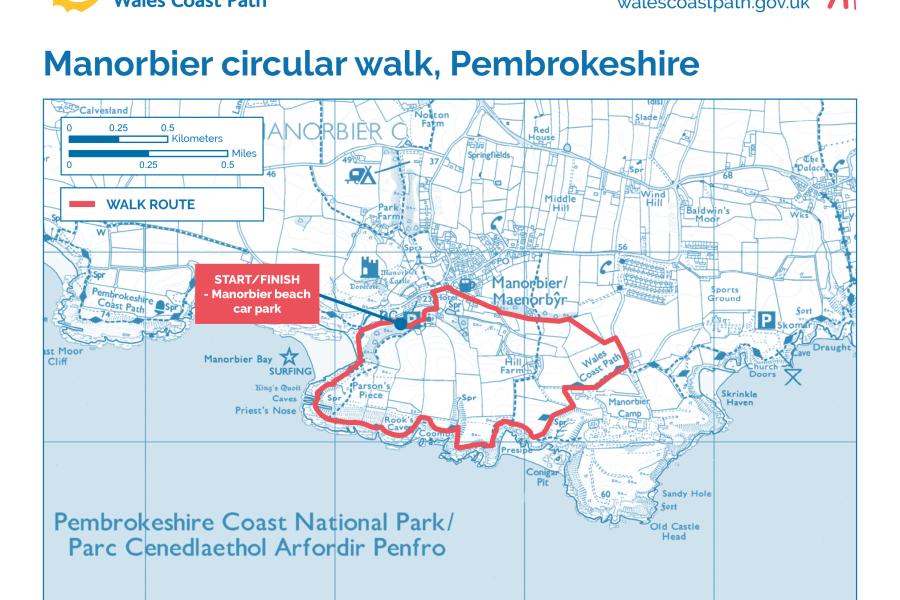
Manorbier circular walk


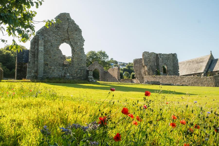
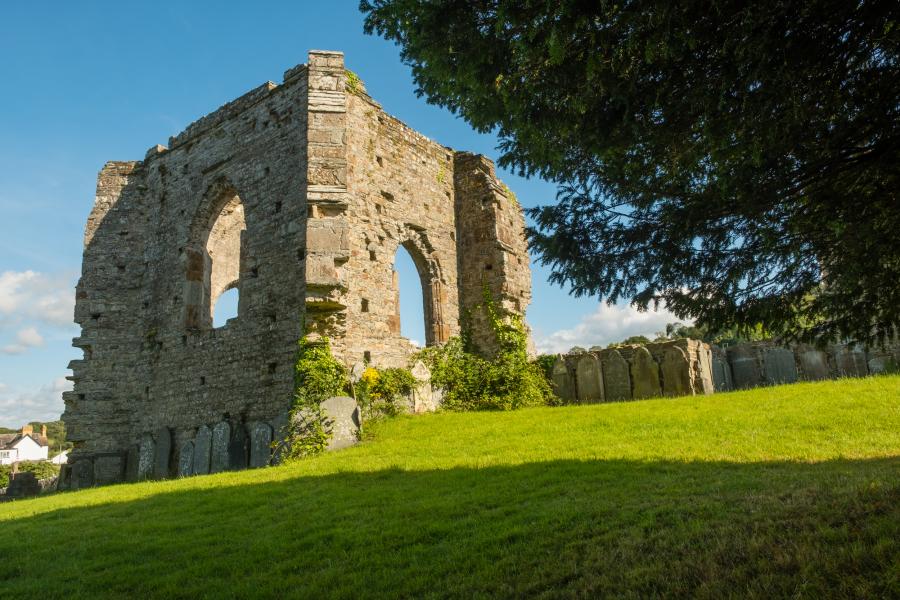
St Dogmaels circular


Wales Coast Path
The Welsh coastline has many contrasts and really does offer something for everyone. From cliff top strolls to estuarine wanders, picturesque fishing villages to vibrant cities, industrial heritage to unconquered castles, desolate windswept beaches to bustling seasides. Whether you’re here for a single hour or an entire weekend, the Wales Coast Path has a lot to offer.
The Coastal Way
These walks also are along the Coastal Way.
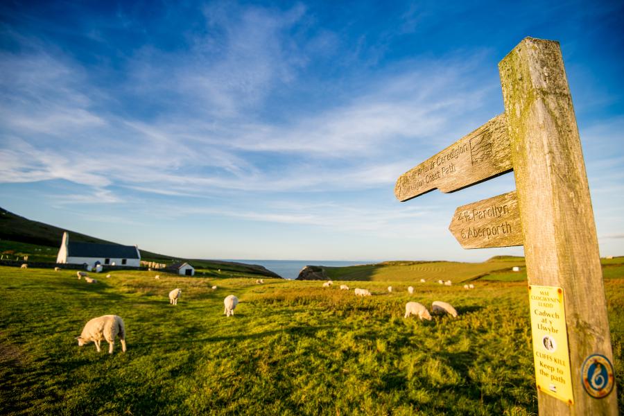
The breath taking coastal landscape of Wales has held allure for pilgrims, poets and travellers for millennia. Hundreds of ancient atmospheric Welsh churches are sited within a stones throw from, and even occasionally on, the beach, promontory or headland. Your journey will lead you through some of the most awe inspiring landscapes in the world.