


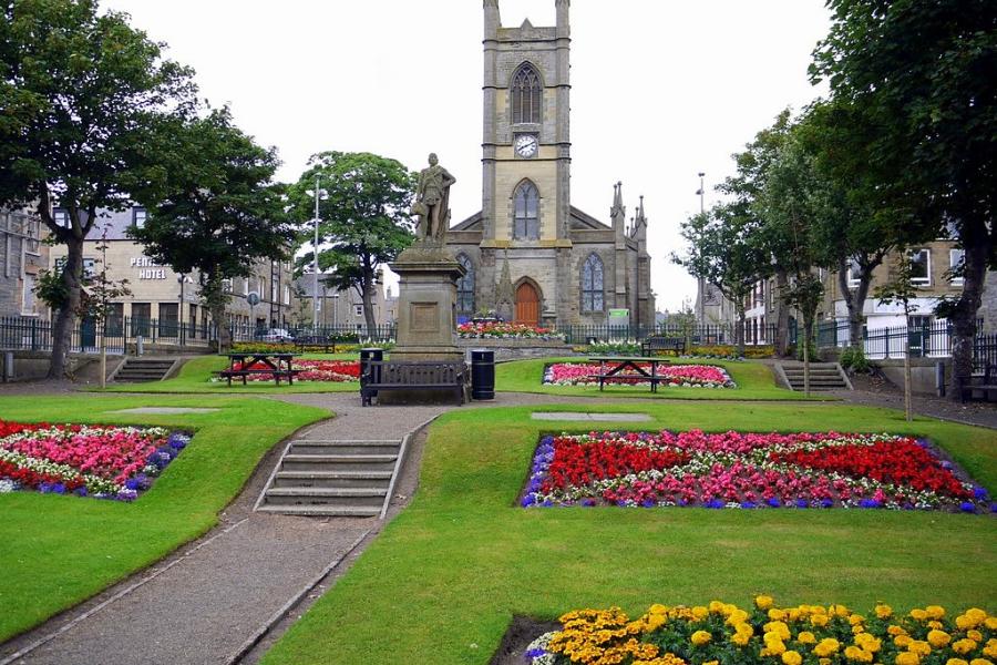

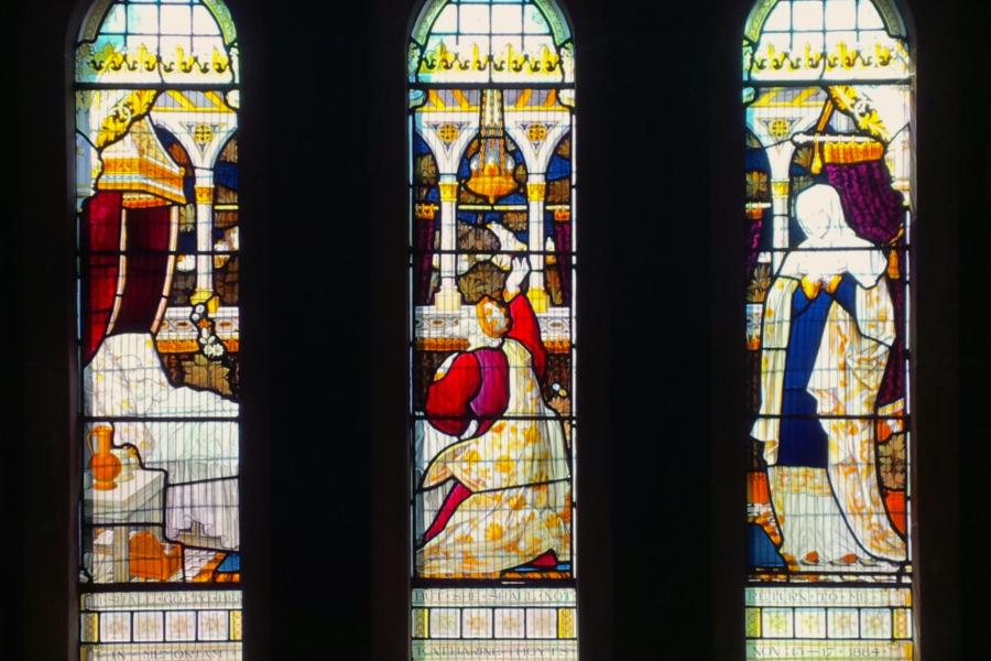


Churches of the Causeway Coast
Explore a giant spirit as you journey along Northern Ireland’s breathtaking Causeway Coast, where ancient churches stand side by side rugged castles as timeless witnesses to history and architecture.


©bvi4092
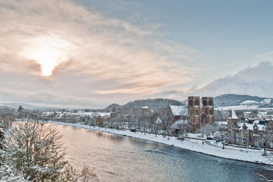
Inverness Cathedral and the River Ness from Inverness Castle
©RobinChrystie
Bealach na Bà (Applecross Pass) is a historic, single track mountain road renowned for its dramatic ascent from sea level to 2,054 feet (626 metres) and views across to Skye

©JohnHaslam
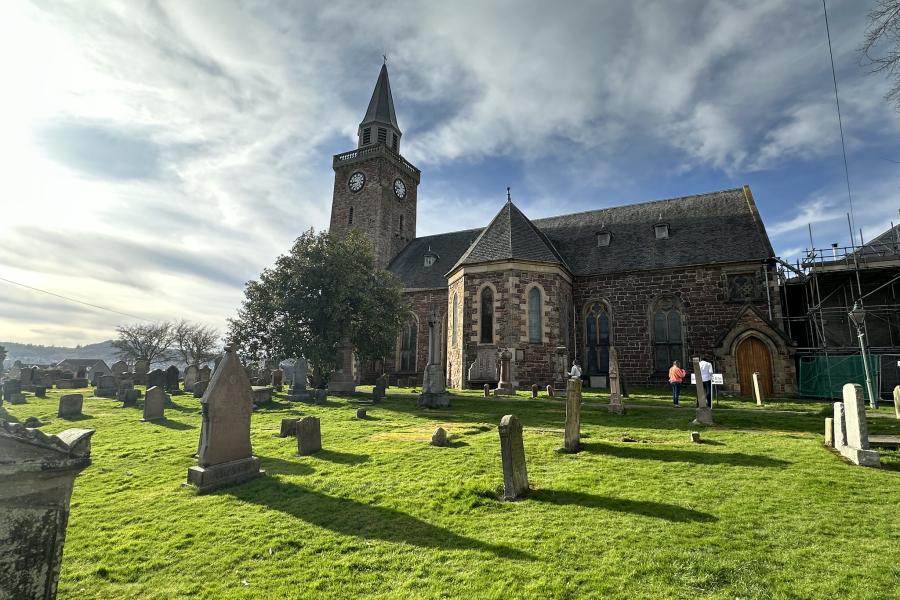
Dornoch Cathedral from the beach

©GeorgeBayliss
Gairloch harbour towards the snow covered Meall na h-Uamha.
Explore a giant spirit as you journey along Northern Ireland’s breathtaking Causeway Coast, where ancient churches stand side by side rugged castles as timeless witnesses to history and architecture.
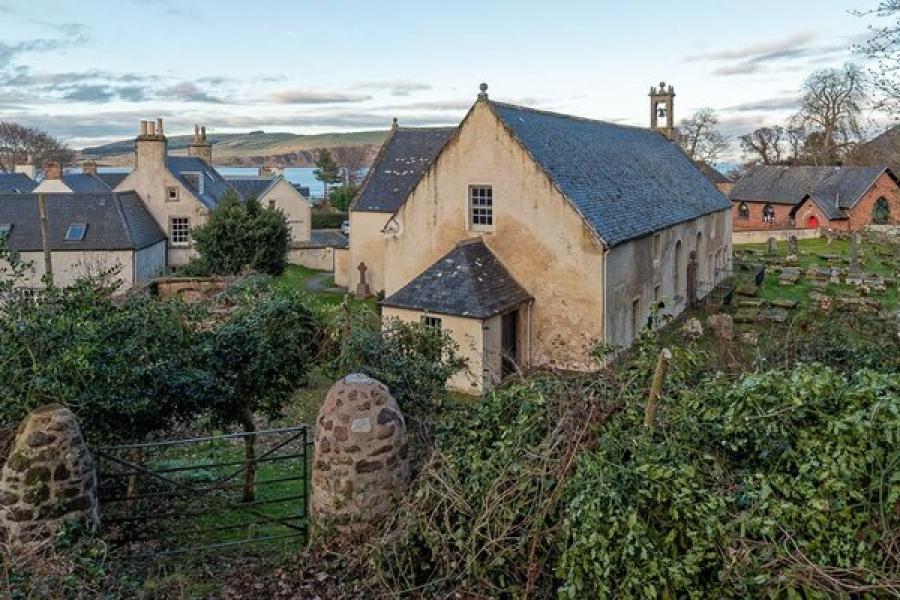
Hundreds of ancient atmospheric Welsh churches are sited within a stones throw from, and even occasionally on, the beach, promontory or headland. These are the places founded by 5th and 6th century Saints; intimately connected to the landscape, with carved Ogham stones, Celtic crosses and an atmosphere inside to make your spine tingle. They are found teetering on clifftops and sunk low on beaches, hidden deep in valleys and high up on soaring hilltops.
The UK has just over 40 tidal islands, some large, many very small. The best are home to unique churches and chapels, often with monastic beginnings and built for peace and tranquillity. The isolation of these seaside sanctuaries means many are also natural havens of flora and fauna. Their remoteness lends them an air of mystery and enshrines their place in local folklore.
The stunning coastal landscape of Wales has held allure for pilgrims, poets and travellers for millennia. Hundreds of ancient atmospheric Welsh churches are sited within a stones throw from, and even occasionally on, the beach, promontory or headland. Teetering on clifftops and sunk low on beaches, hidden deep in valleys and high up on soaring hilltops.
We have chosen some of our favourite seaside getaways. All have delightful churches nestling in their narrow lanes, or braving the elements on windswept clifftops. They are woven into the fabric of the resort and offer a retreat from the midday sun, providing you with a place to relax and take time out.